
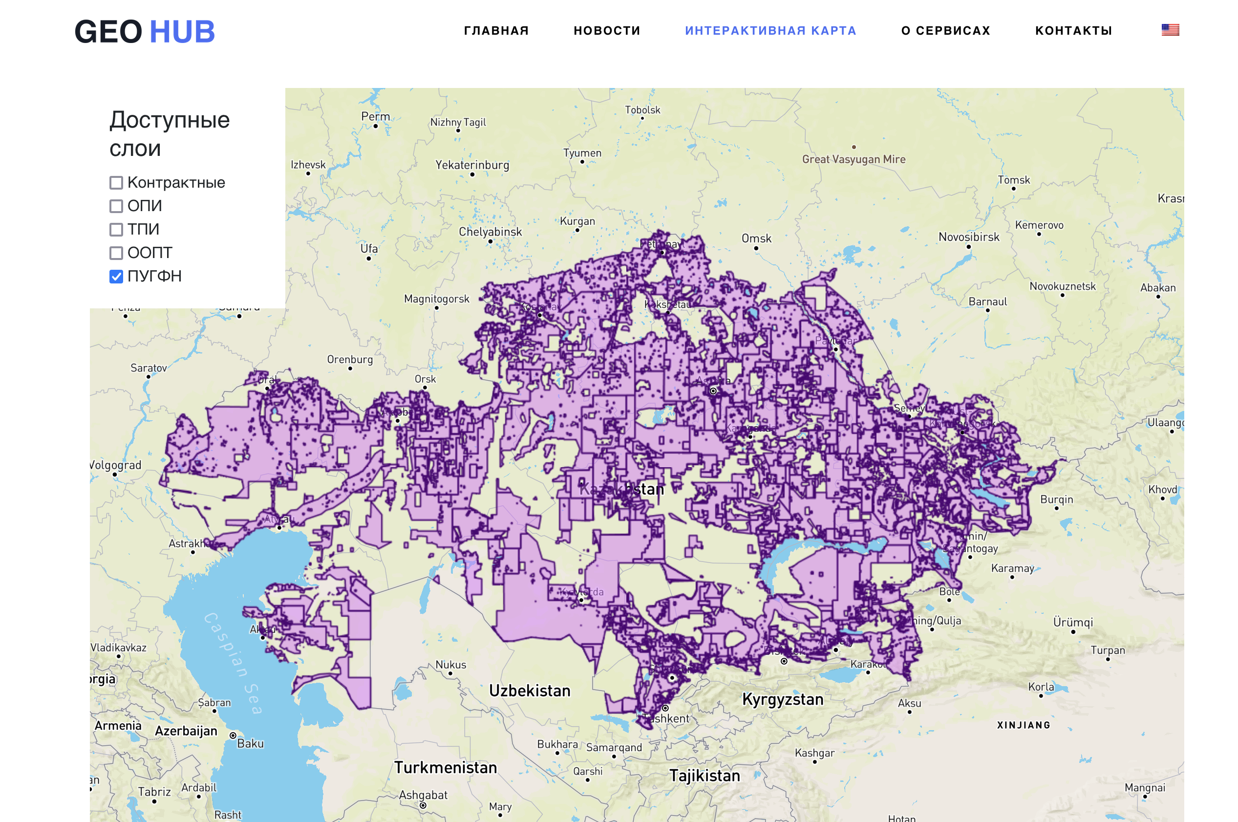
We are pleased to announce that we have completed the placement of an interactive map of the subsoil use of the Republic of Kazakhstan on our portal. This map provides valuable information about the various subsoil uses in Kazakhstan and may be useful to a wide range of users.
To create a map, we used the data received from the portal https://gis.geology.gov.kz. We strive to provide up-to-date and reliable information, so we will regularly update the data on the card as they become available.
It is important to note that this map is not an official document and is for informational purposes only. It may be useful for general familiarization with subsoil use in the Republic of Kazakhstan, but for accurate and official information, it is recommended to contact the relevant state or legal authorities.
We also plan to expand the functionality of the map by adding new layers that will be useful to all users. We welcome your suggestions and ideas for additional layers that you would like to see on the map. We strive to make the map as informative and convenient as possible for all our visitors.
Follow the updates on our website to keep abreast of the latest changes and additions to the interactive map of the subsoil use of the Republic of Kazakhstan. We thank you for your interest and wish you a pleasant use of our resource!